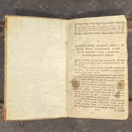
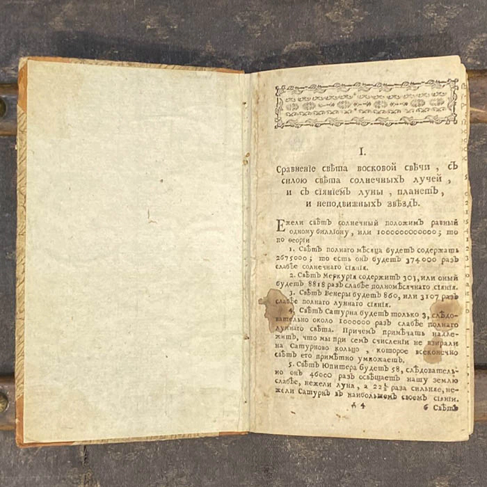
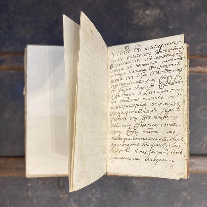
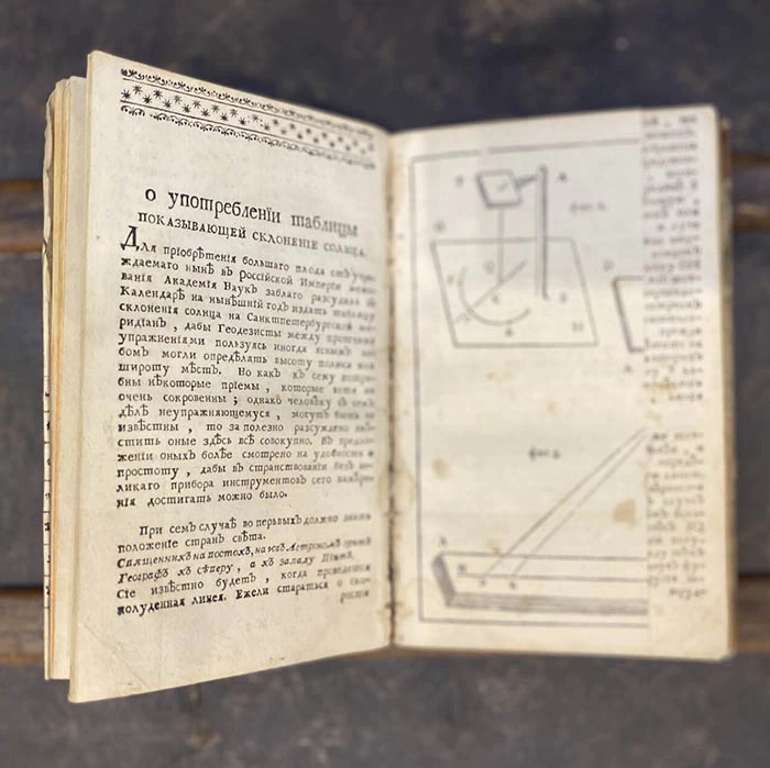
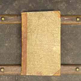
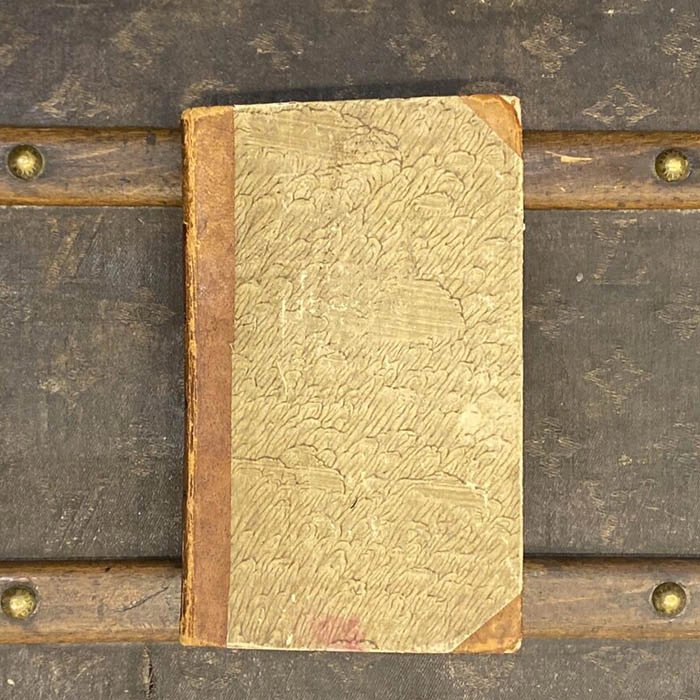
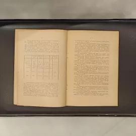
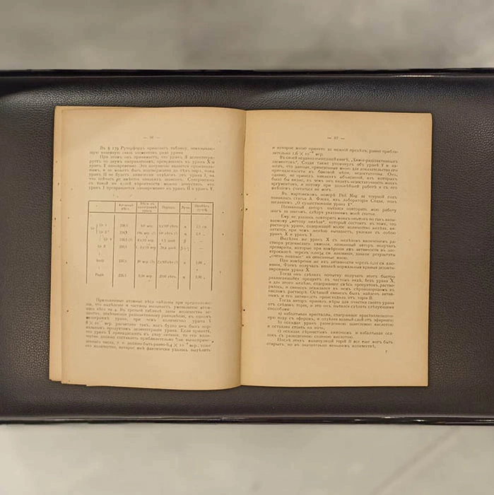
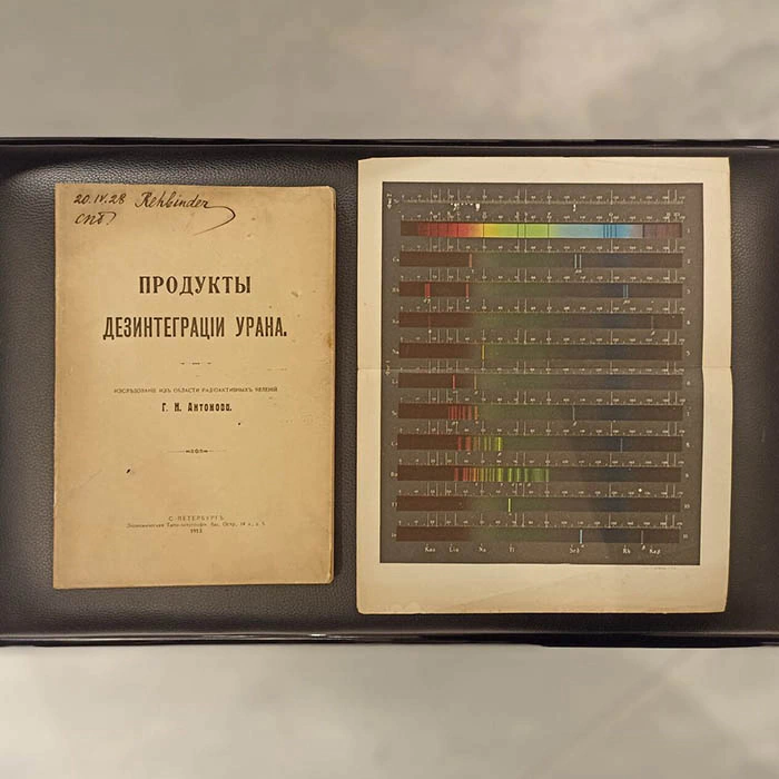
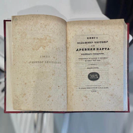
The book is "A book based on a larger drawing or an ancient map of the Russian state, updated and copied into a book in 1627." St. Petersburg, Imperial Russian Academy, 1838.


- Pickup from gallery : Set a route
- Courier delivery
- Delivery by a transport company in the shortest possible time
- VIP air delivery
- Delivery rates
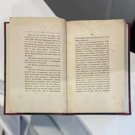
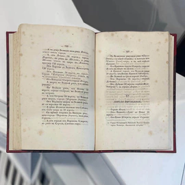
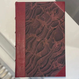
In excellent condition after professional restoration.
The book of a larger drawing or the Ancient Map of the Russian state is a unique historical publication, which is a collection of cartographic materials collected by 1627. It remains an inexhaustible source of information for many areas of historical research. Initially, the "Big Drawing" was made in the 1550s specifically for the tsar in one copy. Due to wear and tear, he corresponded several times.
Most of the documents related to the "Great Drawing", like himself, have not been preserved, with the exception of copies of the "Book of the Great Drawing" in the second edition of 1627. The territories described in the Book covered the lands from the Western Dvina in the west, the lands of Crimea and Bukhara in the south, and the Siberian lands in the east, with descriptions of cities, seas, rivers, roads, and other important information.
The book contains brief descriptions of various lands – their population, distinctive features, resources, and natural conditions. It also includes drawings of large rivers (Volga, Dnieper, Don), with descriptions of their channels, tributaries, rapids and crossings. By design, it served as a practical guide for the "sovereign parcel service" in the 17th century. Therefore, the description was mainly based on roads and rivers (i.e. winter roads) of that time.
| Brand: | Stargift |
| Material: | paper |
| Тип: | книга/журнал |
| Style: | classic |
| Sizes: | 22.4 × 29 × 1.1 cm . |

Similar products