- Main page
- Catalog
- Maps and globes
- Cards
- Maps of Russia
Map of Russia (corporate gift with logo)
(16)Filters
Available first
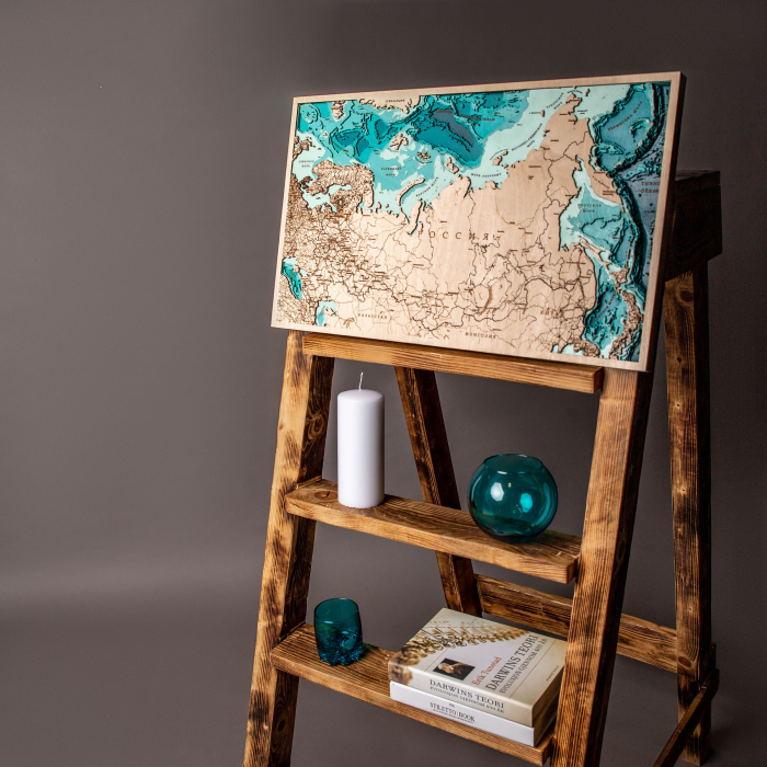
Map of Russia (corporate gift with logo)
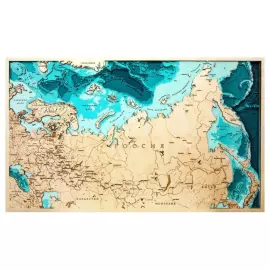
Maps of Russia with an engraved company logo for a corporate gift. Expensive exclusive gifts and handmade business souvenirs.


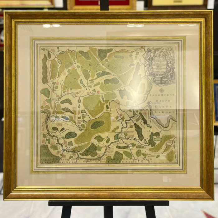
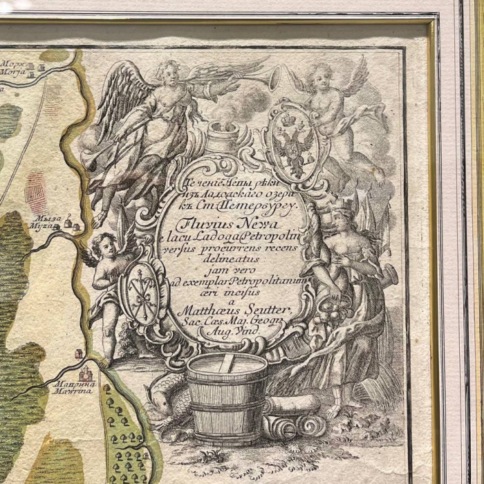
Map of the course of the Neva River from Lake Ladoga to St. Petersburg
Map of the course of the Neva River from Lake Ladoga to St. Petersburg
The map was compiled at the St. Petersburg Academy of Sciences. Augsburg: Printed by Georg Mattheus Seuter 1741-1742.
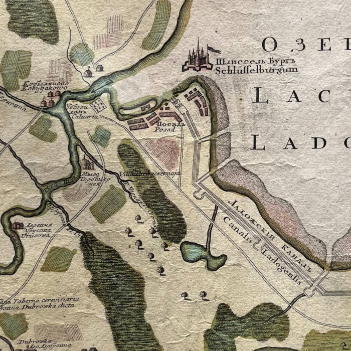
Map of the Neva River, from the source to the confluence of the Okhta, with adjacent parts of Karelia and Ingermanland. The map shows pubs, settlements with individual houses, including the Shabby House, Shlisselburg, Morye, Murino, Alexander Nevsky Lavra and much more. The map also shows Nevsky district and Rzhevka, the Powder towns of present-day St. Petersburg, which did not appear on the maps of the city at that time.
Seuter Georg Mattheus (1678-1757) was one of the greatest cartographers and the founder of the Augsburg School of Cartography. Zoiter's publishing house published many maps, atlases and globes, among which there were very few original ones.
Augsburg did not have its own university at that time, and the city had no connections with specialists in mathematics and natural sciences. Zoiter copied the works of other cartographers, making his own engravings based on their originals. In total, more than 500 maps were produced in his workshop.
His most famous works are: "Geographical Atlas or Accurate Description of the Whole World" ("Atlas Geographicus oder Accurate Vorstellung der ganzen Welt"), 1725, 46 maps; "Large Atlas" ("Grosser Atlas"), 1734, 131 maps and pocket "Atlas minor", 1744, 64 maps.
After Seuter's death, his son Albrecht Karl, son-in-law Konrad Tobias Lotter, and business partner Johann Michael Probst continued his business for the next five years.
1 000 000 ₽
Available in stock
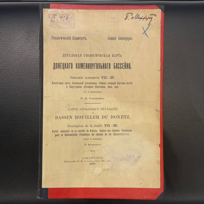
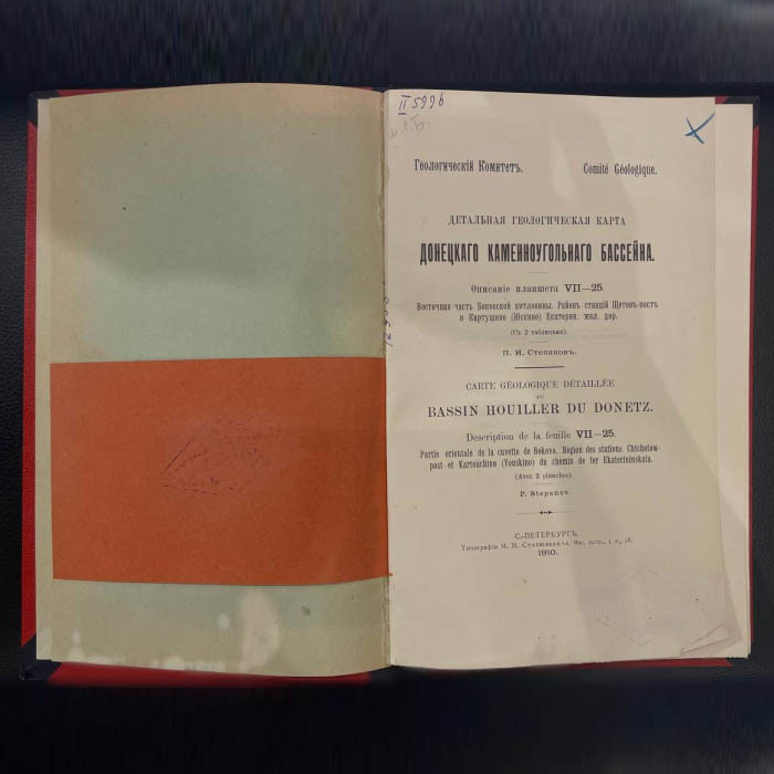
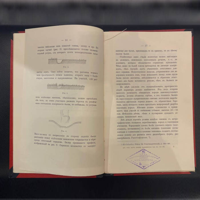
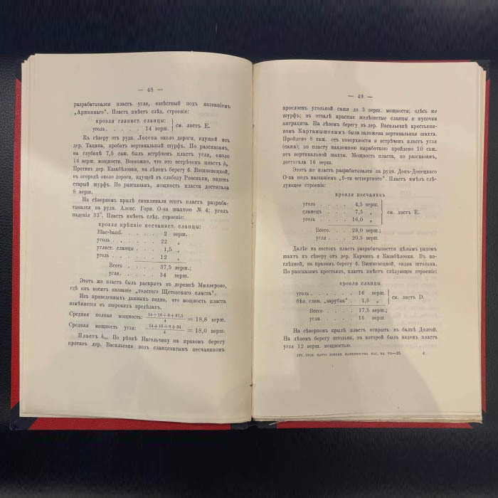
The book "Detailed geological map of the Donetsk coal basin" Stepanov P.I., St. Petersburg, printing house of M.M. Stasyulevich, 1910
The book "Detailed geological map of the Donetsk coal basin" Stepanov P.I., St. Petersburg, printing house of M.M. Stasyulevich, 1910
Pavel Stepanov is a Russian geologist and cartographer, known for his work on the study of the Donetsk coal basin. He made a significant contribution to the development of geological sciences at the beginning of the 20th century.
His work "Detailed Geological map of the Donetsk coal basin" is one of the key scientific works of that time. The publication presents maps and descriptions of the geological structure of the region, as well as an analysis of mineral resources, including coal deposits. The research is based on careful field observations and extensive geological data, which makes it an important source of information for scientists, engineers and mining specialists. The book reflects the level of development of geological sciences at the beginning of the 20th century and is of historical value for studying the development of industry and science in Russia. Stepanov is known for his meticulous field research and precision in mapping, which has made his work valuable to subsequent generations of scientists and engineers.
Pavel Ivanovich's work was highly appreciated by the government: he was awarded two Orders of Lenin, medals "For the Defense of Leningrad", "For Valiant Labor in the Great Patriotic War", and also awarded the 1st degree State Prize for his work in the Donetsk basin.
Mikhail Stasyulevich's printing house, founded in St. Petersburg, was one of the famous printing houses of the Russian Empire in the late 19th and early 20th centuries. Mikhail Matveyevich is an outstanding publisher and public figure who created a printing house that was famous for its high quality of printing and editing. It was here that Stepanov's book "Detailed Geological Map of the Donetsk Coal Basin" was published, which underlines the importance and scientific significance of this work.
190 000 ₽
Available in stock
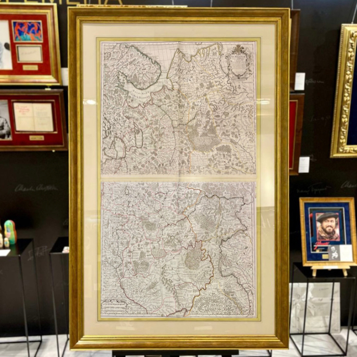
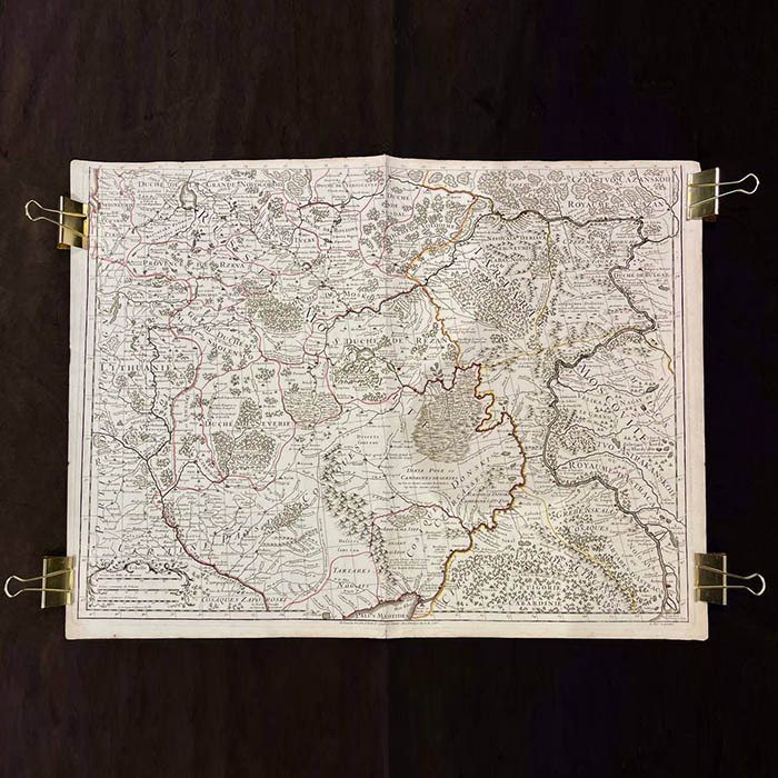
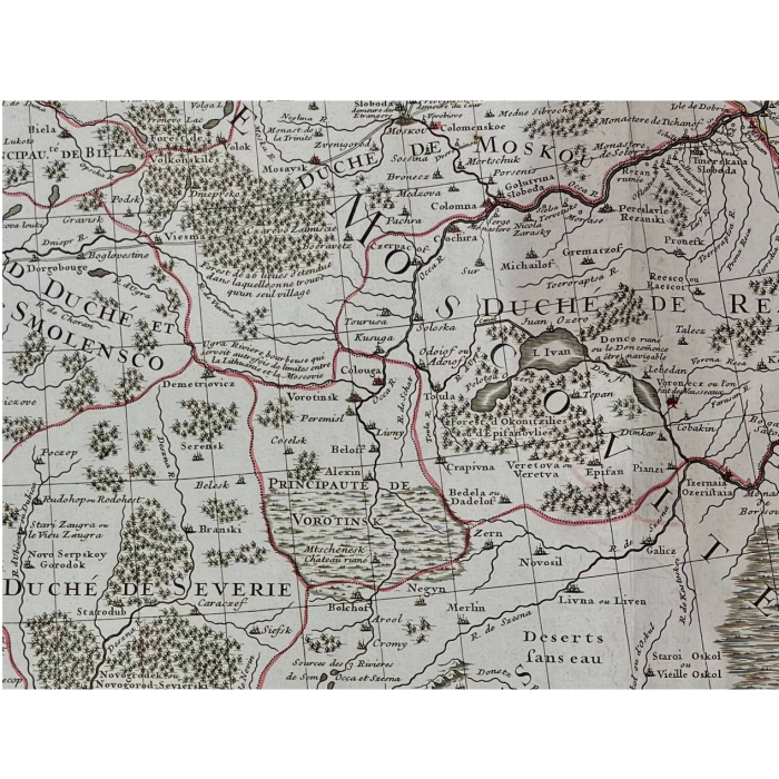
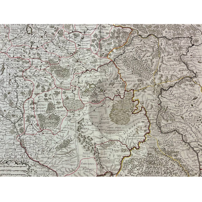
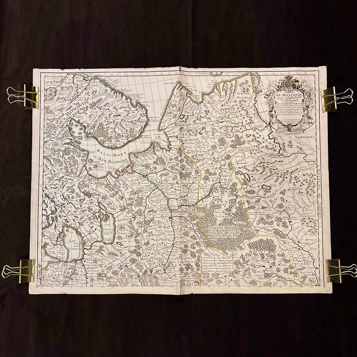
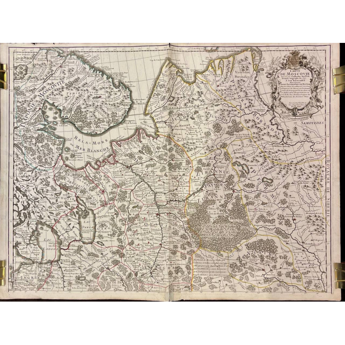
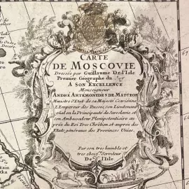
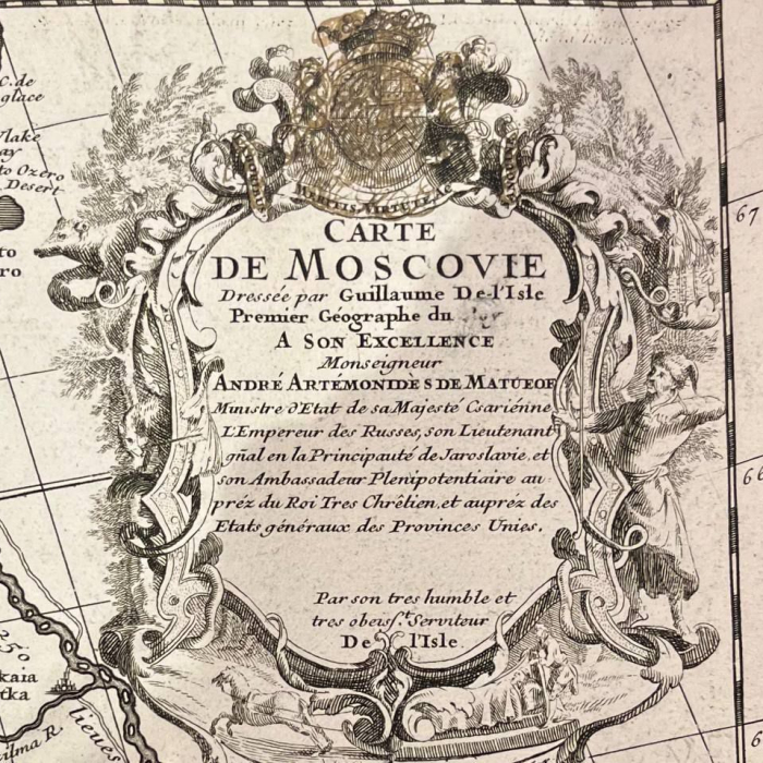
Map of Muscovy. Cartographer Guillaume Delille. Paris, 1746
Map of Muscovy. Cartographer Guillaume Delille. Paris, 1746
The map was created by the outstanding French cartographer Guillaume Delille. Delille, using the latest geographical data of his time, critically revised existing cartographic representations, making his work respected. Delisle's maps were in such demand that they were repeatedly republished and used as the basis for the creation of new maps by subsequent publishers.
This map is an example of the high-class cartographic art of the era and is appreciated for its accuracy and aesthetic appeal. The copper engraving, tinted with watercolor, testifies to the skill and thoroughness of the execution, as well as Delil's desire to create visual and informative drawings.
The map of Muscovy is dedicated to Andrei Artomonovich Matveev, a statesman of the Petrine era. He served in various diplomatic posts, including Russian Ambassador to the Netherlands and England. Matveev made a significant contribution to strengthening the international relations of the Russian Empire and participated in important negotiations, which made him a significant figure of his time.
1 500 000 ₽
Available in stock
For corporate
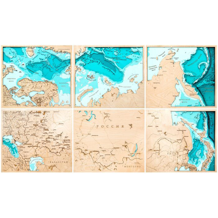
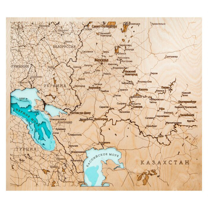
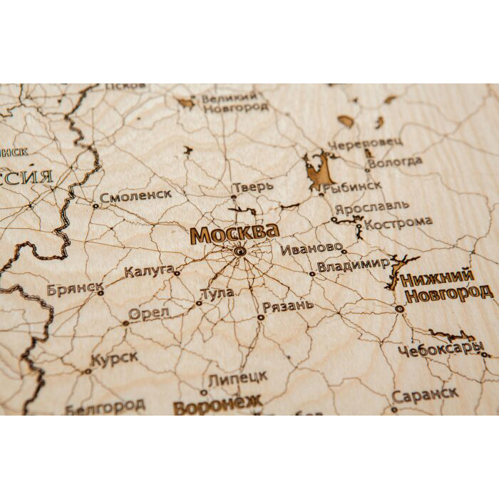
Map of Russia made of wood, polyptych, custom made
Map of Russia made of wood, polyptych, custom made
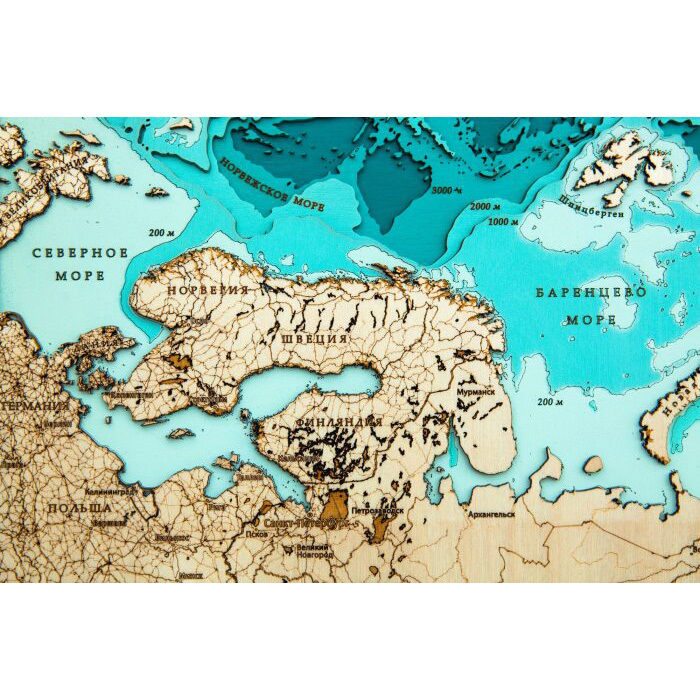
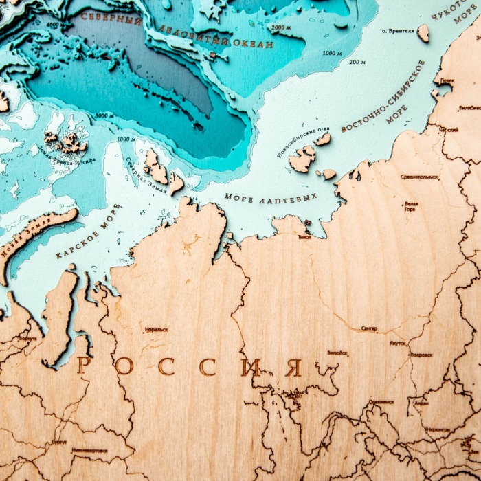
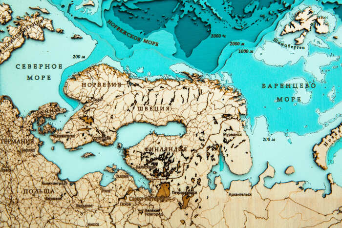
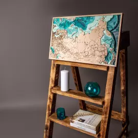
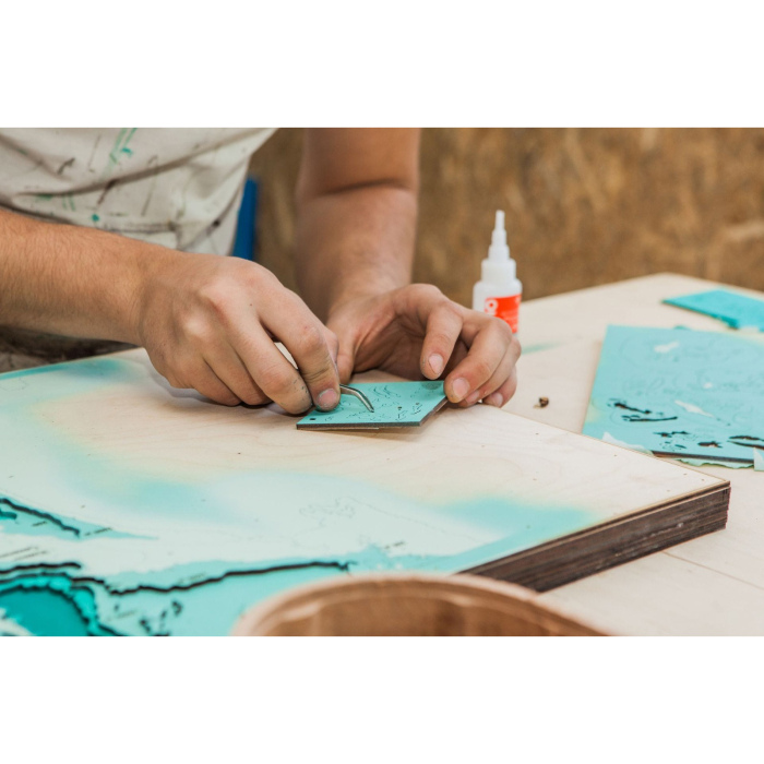
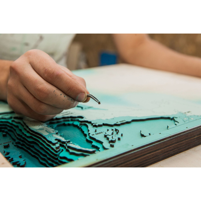
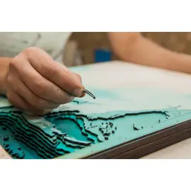
Impeccable quality and exclusive design of three-dimensional paintings will not leave indifferent a true connoisseur of high-quality, environmentally friendly expensive things!
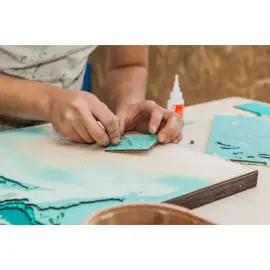
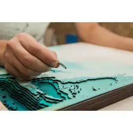
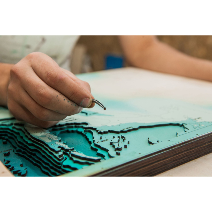
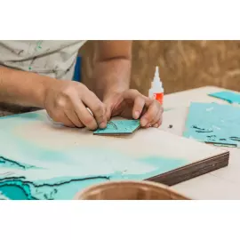
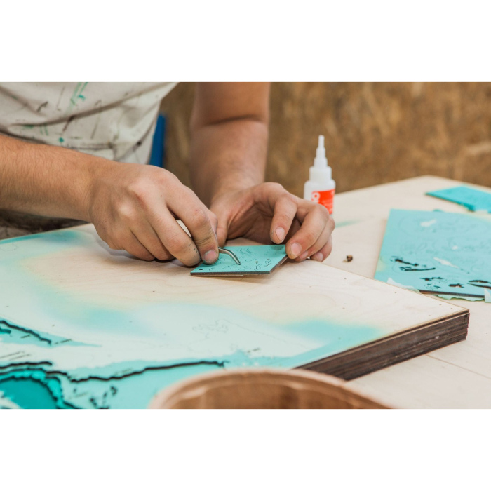
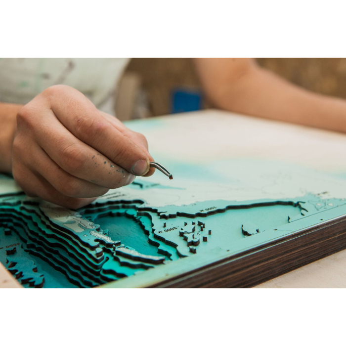
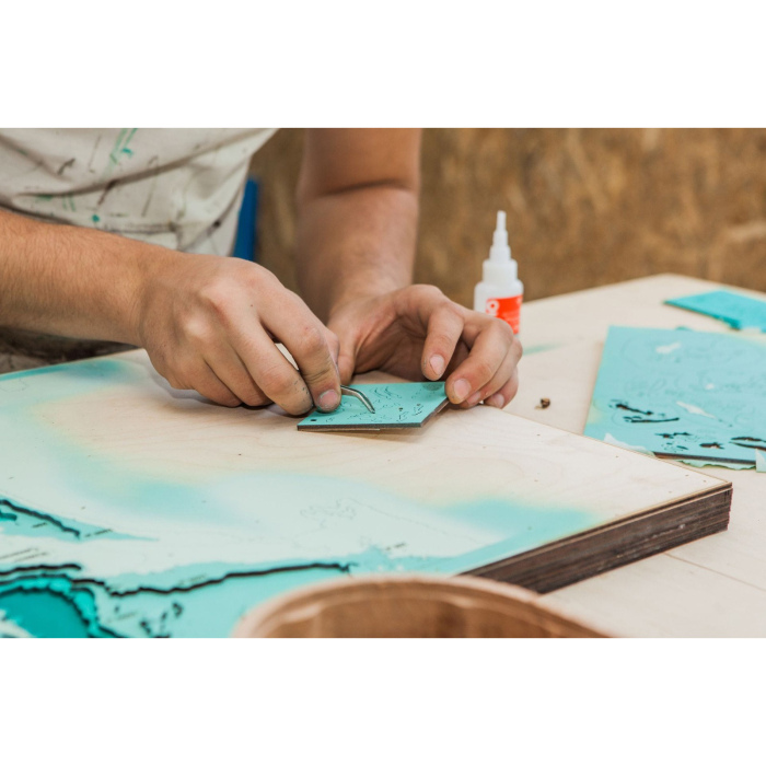
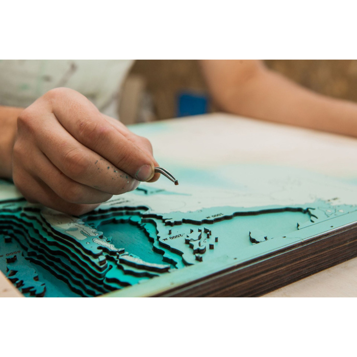
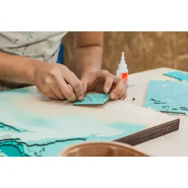
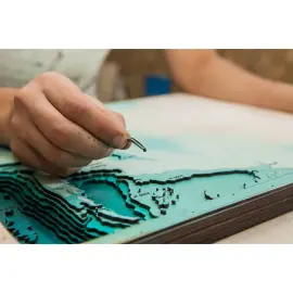
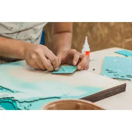
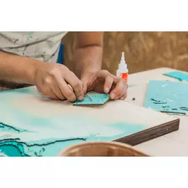
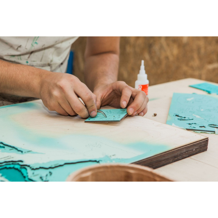
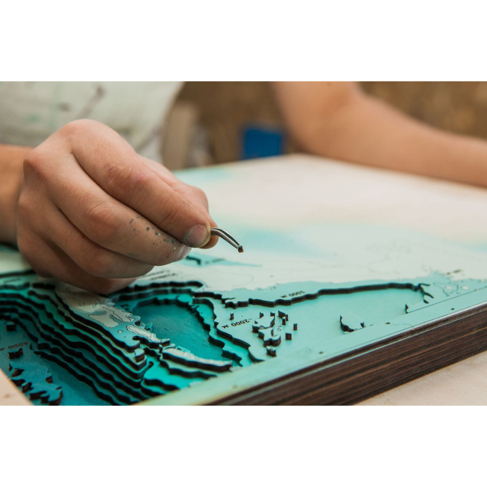
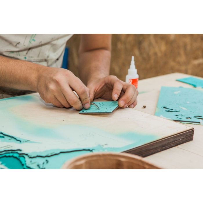
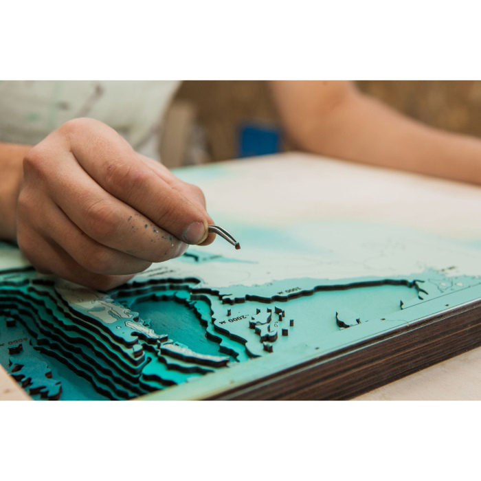
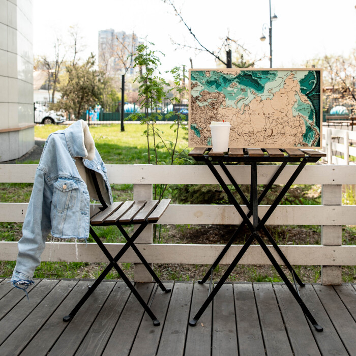
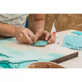
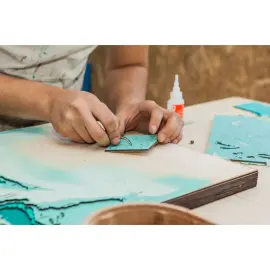
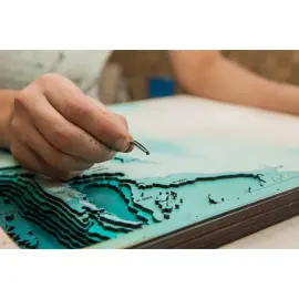
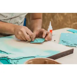
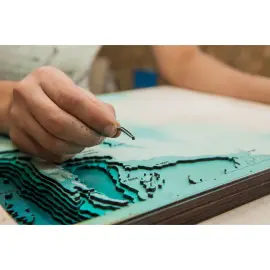
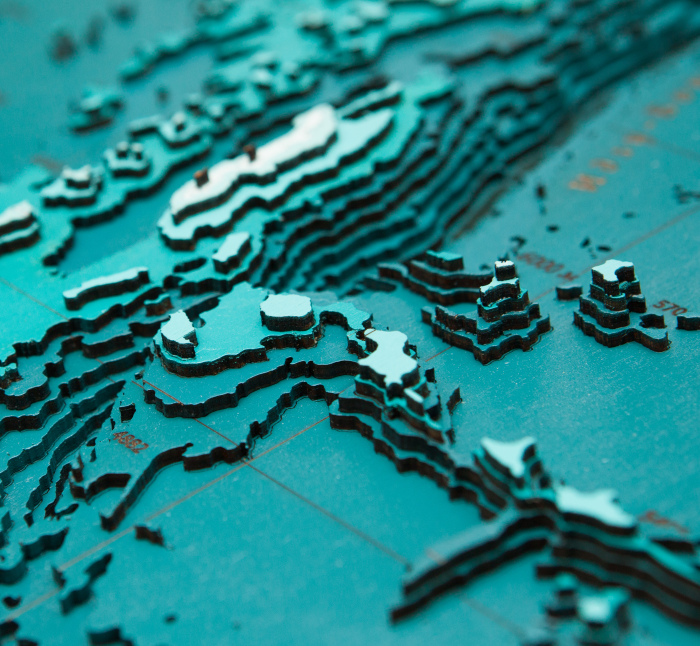
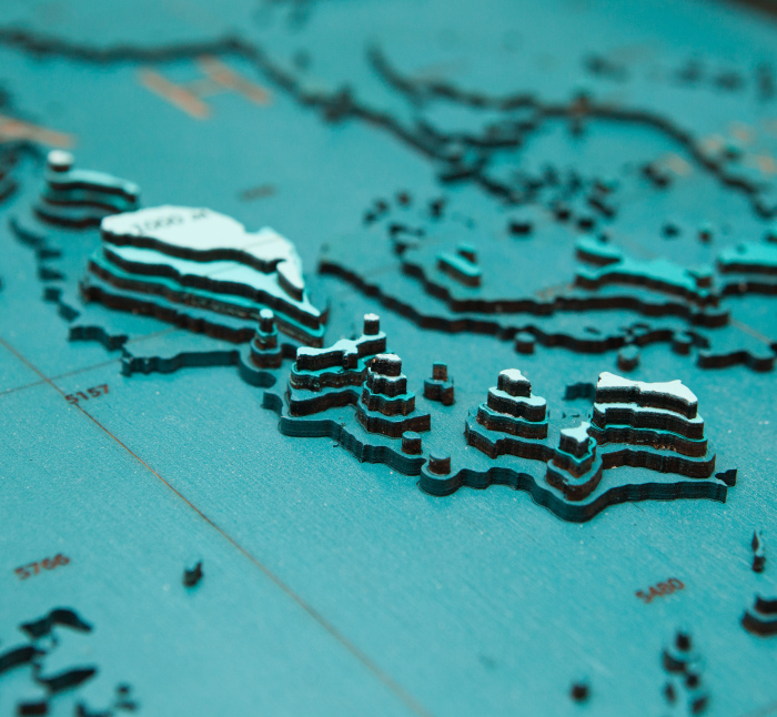
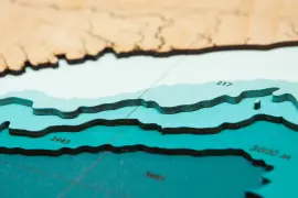
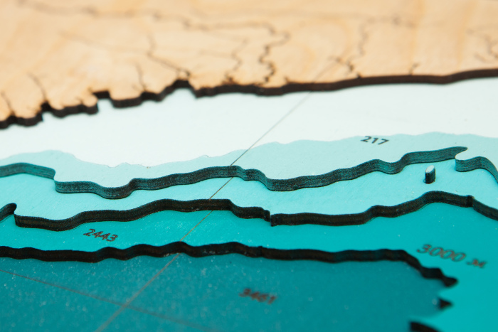
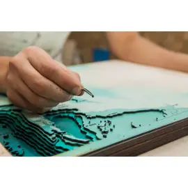
The painting is made entirely of birch bark, and each layer is painted in its own color, characterizing the depth. Minor deviations from the sample shown in the image are allowed, since the texture of the tree is unique: it is impossible to make two completely identical paintings.
This is an original and very unusual souvenir, there are no analogues of three-dimensional maps both in Russia and in most countries of the world.
You can display all aspects of your company's activities on the map, starting from the location of branches, ending with, but not limited to, the location of oil rigs, gas pipelines, telecommunications lines, ship tracks, fishing zones, mining sites, geological exploration sites and much more!
90 000 ₽
Clarify availablility
For corporate
Map of Russia made of wood, large, custom-made
Map of Russia made of wood, large, custom-made
Impeccable quality and exclusive design of three-dimensional paintings will not leave indifferent a true connoisseur of high-quality, environmentally friendly expensive things!
The painting is made entirely of birch bark, and each layer is painted in its own color, characterizing the depth. Minor deviations from the sample shown in the image are allowed, since the texture of the tree is unique: it is impossible to make two completely identical paintings.
This is an original and very unusual souvenir, there are no analogues of three-dimensional maps both in Russia and in most countries of the world.
You can display all aspects of your company's activities on the map, starting from the location of branches, ending with, but not limited to, the location of oil rigs, gas pipelines, telecommunications lines, ship tracks, fishing zones, mining sites, geological exploration sites and much more!
30 000 ₽
Clarify availablility
For corporate
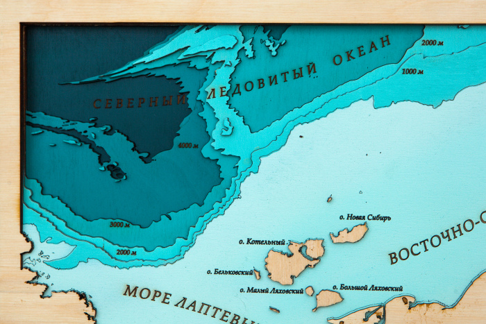
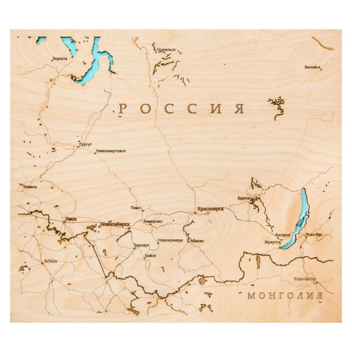
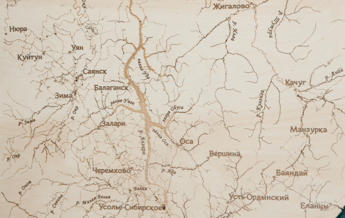
Wooden multi-layered "Map of Siberia" to order
Wooden multi-layered "Map of Siberia" to order
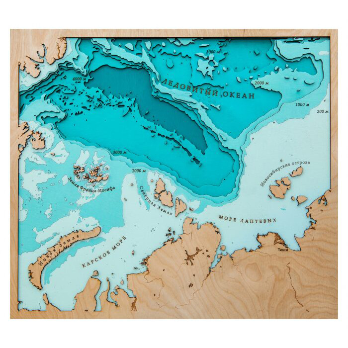
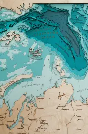
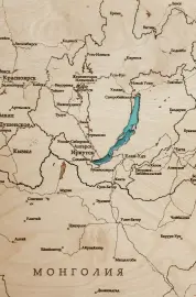
The map of Siberia is a detailed image of the region located in the northwest, north Asia, occupying 56% of the area of Russia. The region borders the Ural Mountains in the west, and the watershed ridges that run along the Pacific Ocean in the east. In the north, Siberia adjoins the Arctic Ocean, the water area of which is mapped in detail, indicating the relief and depth of the waters. There are also large settlements in Siberia on the map, as well as borders between regions. In addition, the map is supplemented with an image of Lake Baikal, the deepest freshwater lake on the planet. Also noted are the countries with the largest settlements, to which Siberia adjoins in the west – China, Mongolia, Kazakhstan.
Impeccable quality and exclusive design of three-dimensional paintings will not leave indifferent a true connoisseur of high-quality, environmentally friendly expensive things!
The painting is made entirely of birch bark, and each layer is painted in its own color, characterizing the depth. Minor deviations from the sample shown in the image are allowed, since the texture of the tree is unique: it is impossible to make two completely identical paintings.
This is an original and very unusual souvenir, there are no analogues of three-dimensional maps both in Russia and in most countries of the world.
You can display all aspects of your company's activities on the map, starting from the location of branches, ending with, but not limited to, the location of oil rigs, gas pipelines, telecommunications lines, ship tracks, fishing zones, mining sites, geological exploration sites and much more!
24 000 ₽
Clarify availablility
For corporate
The map is a wooden multi-layered "Map ofNakhodka" to order
The map is a wooden multi-layered "Map ofNakhodka" to order
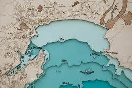
The map shows the water area of Nakhodka Bay, as well as the territory of the city of the same name, located on the Difficult Peninsula, is depicted in some detail. The bay was named so, according to legend, thanks to the exclamation of one of the sailors of the corvette America, who saw the previously unknown bay for the first time - "This is a find!". In addition, the map shows the only island located in the bay - O.Lisy, it is noteworthy that there have never been foxes on the island, and from 1937 until September 1945 there was a women's camp of political prisoners on the island, where convicts were engaged in processing, salting and shipping fish.
Impeccable quality and exclusive design of three-dimensional paintings will not leave indifferent a true connoisseur of high-quality, environmentally friendly expensive things!
The painting is made entirely of birch bark, and each layer is painted in its own color, characterizing the depth. Minor deviations from the sample shown in the image are allowed, since the texture of the tree is unique: it is impossible to make two completely identical paintings.
This is an original and very unusual souvenir, there are no analogues of three-dimensional maps both in Russia and in most countries of the world.
You can display all aspects of your company's activities on the map, starting from the location of branches, ending with, but not limited to, the location of oil rigs, gas pipelines, telecommunications lines, ship tracks, fishing zones, mining sites, geological exploration sites and much more!
27 600 ₽
Clarify availablility
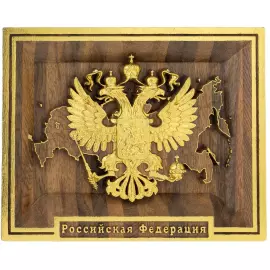
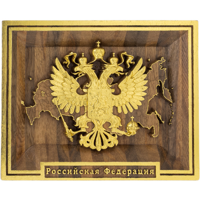
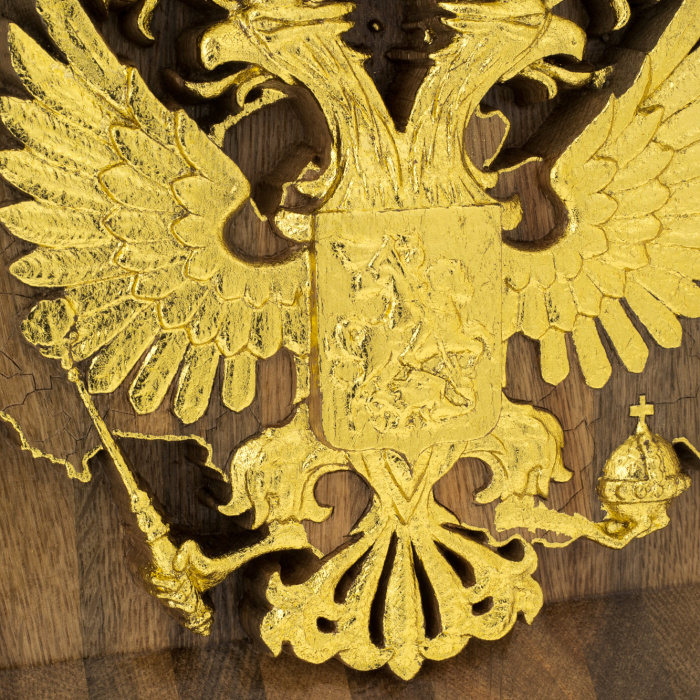
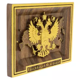
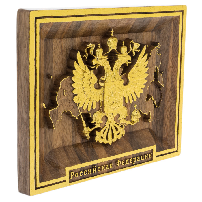
Stained oak panel "Map of the Russian Federation with the Coat of Arms of Russia" with gilding
Stained oak panel "Map of the Russian Federation with the Coat of Arms of Russia" with gilding
The products are made of high quality natural materials. The filigree elaboration of details characterizes the impeccable work of the master.
The product will become an exquisite status gift for a VIP, it will perfectly fit into the rich interior of a house or office.
89 400 ₽
Clarify availablility
For corporate
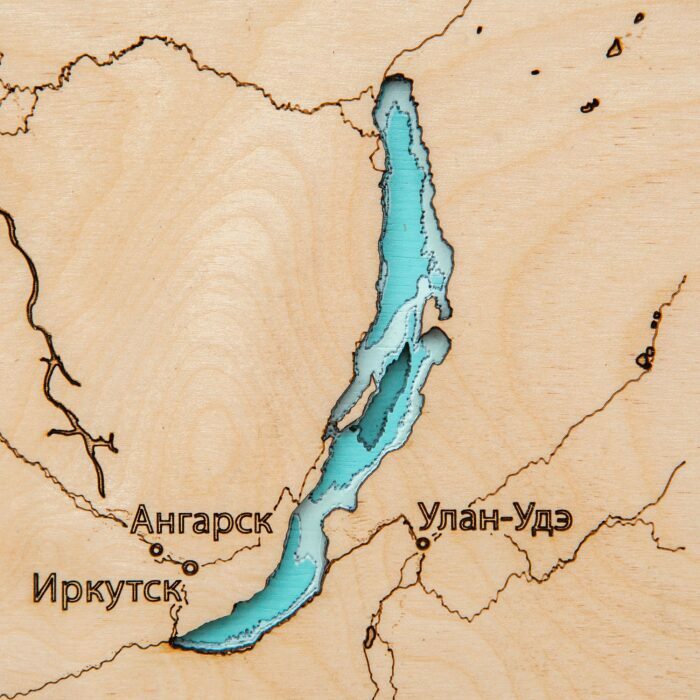
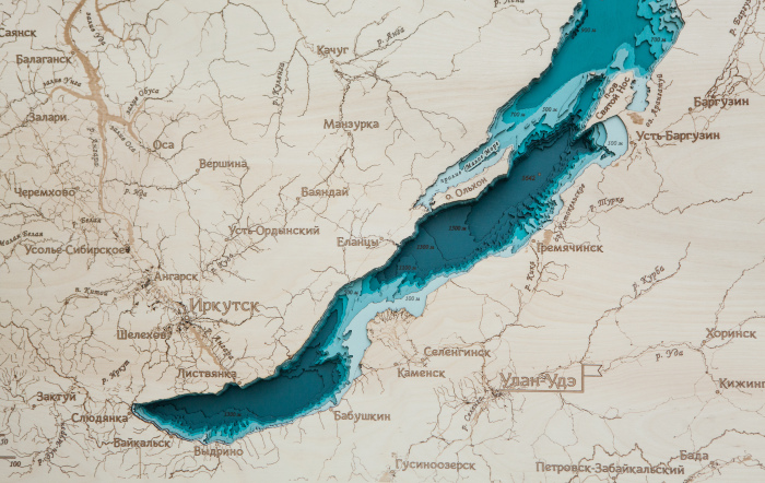
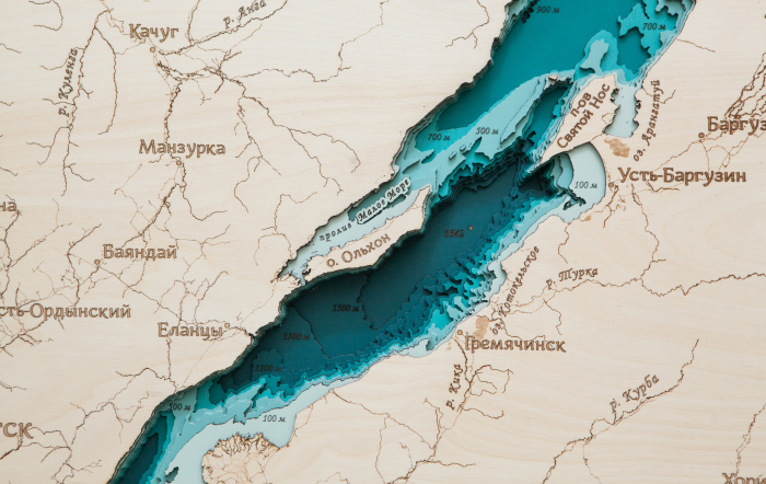
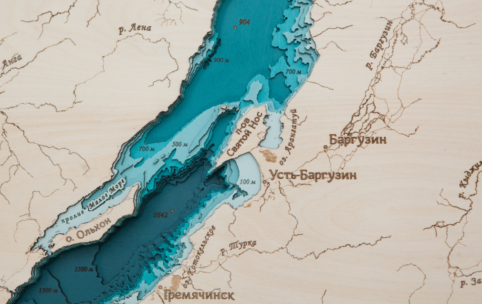
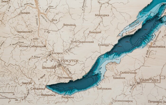
Wooden multi-layered map "Map of Lake Baikal No. 2" to order
Wooden multi-layered map "Map of Lake Baikal No. 2" to order
The map shows the great Baikal - a lake that needs no introduction, because everyone knows about it. The feature of the map of the deepest lake in the world is its thickness - the map consists of 17 layers of birch plywood and displays the depths of the reservoir as accurately as possible, the map also shows the current value of the maximum depth of the lake - 1642 meters. In addition to the depths, the map shows the magical island of Olkhon, the strait of the Small Sea separating the island from the mainland, the Holy Nose peninsula, the largest rivers flowing into Lake Baikal and the only river flowing from Lake Angara, as well as nearby settlements located near the lake.
Impeccable quality and exclusive design of three-dimensional paintings will not leave indifferent a true connoisseur of high-quality, environmentally friendly expensive things!
The painting is made entirely of birch bark, and each layer is painted in its own color, characterizing the depth. Minor deviations from the sample shown in the image are allowed, since the texture of the tree is unique: it is impossible to make two completely identical paintings.
This is an original and very unusual souvenir, there are no analogues of three-dimensional maps both in Russia and in most countries of the world.
You can display all aspects of your company's activities on the map, starting from the location of branches, ending with, but not limited to, the location of oil rigs, gas pipelines, telecommunications lines, ship tracks, fishing zones, mining sites, geological exploration sites and much more!
36 000 ₽
Clarify availablility
For corporate
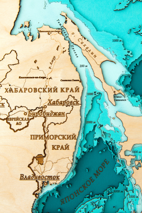
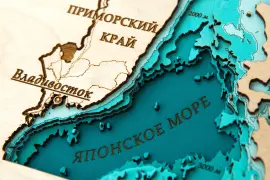
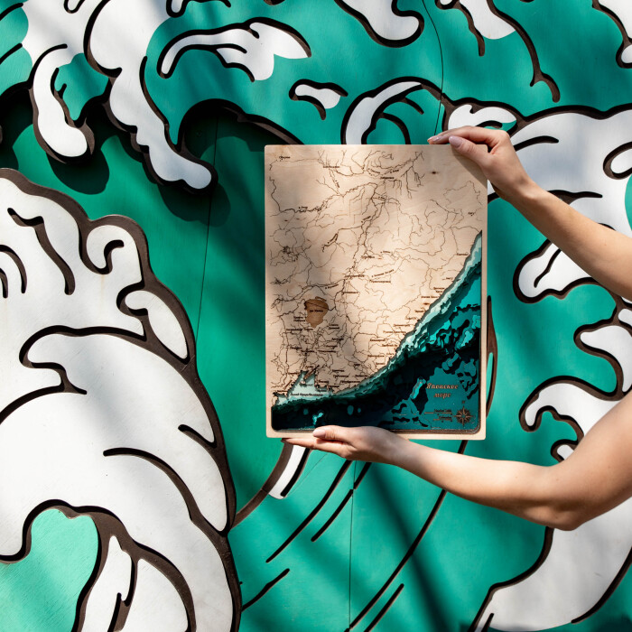
Wooden multi-layered map "Map of Primorsky Krai No. 1" to order
Wooden multi-layered map "Map of Primorsky Krai No. 1" to order
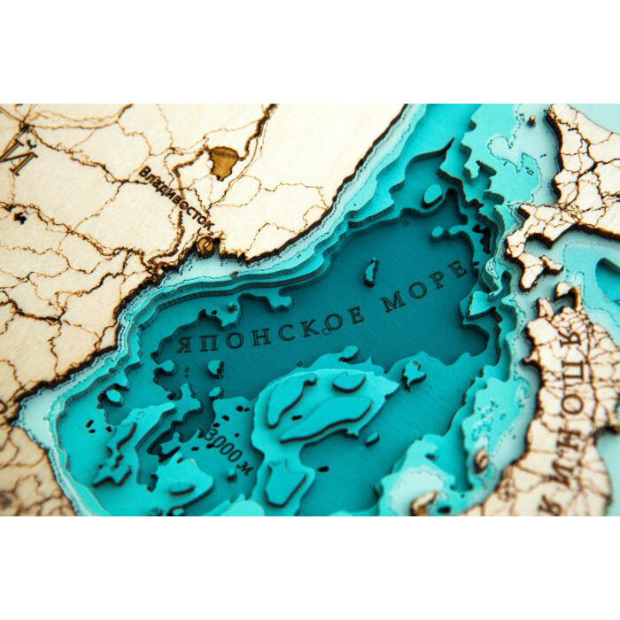
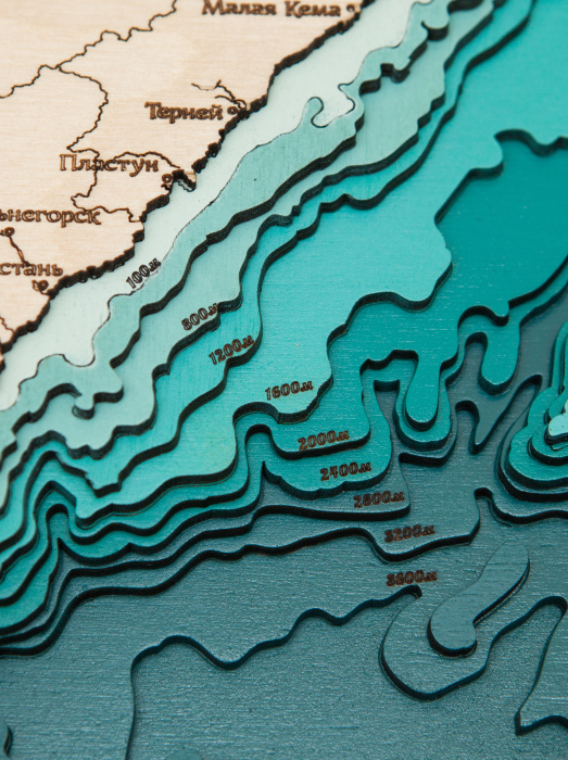
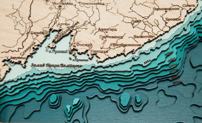
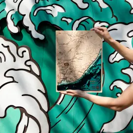
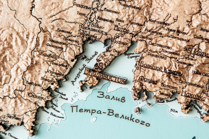
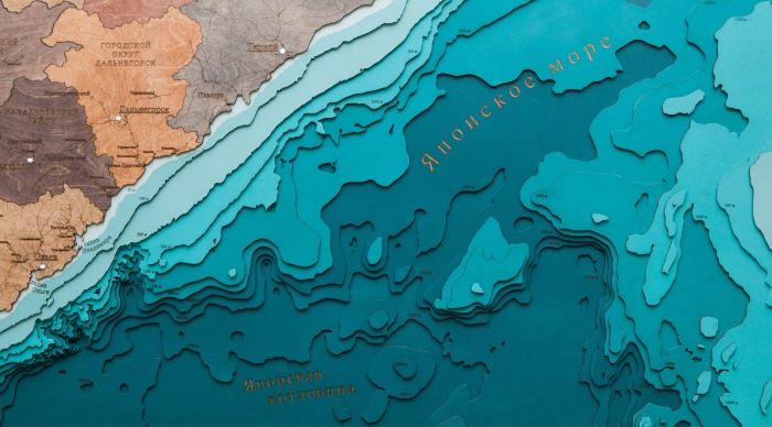
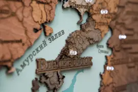
The map shows the water area of the Primorsky Territory with an indication of the large islands and the most important settlements of the region. The map has a vertical structure, which is due to the shape of the edge, which stretches along the coast of the Sea of Japan.
Impeccable quality and exclusive design of three-dimensional paintings will not leave indifferent a true connoisseur of high-quality, environmentally friendly expensive things!
The painting is made entirely of birch bark, and each layer is painted in its own color, characterizing the depth. Minor deviations from the sample shown in the image are allowed, since the texture of the tree is unique: it is impossible to make two completely identical paintings.
This is an original and very unusual souvenir, there are no analogues of three-dimensional maps both in Russia and in most countries of the world.
You can display all aspects of your company's activities on the map, starting from the location of branches, ending with, but not limited to, the location of oil rigs, gas pipelines, telecommunications lines, ship tracks, fishing zones, mining sites, geological exploration sites and much more!
40 800 ₽
Clarify availablility
For corporate
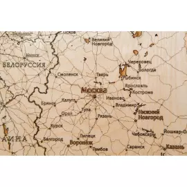
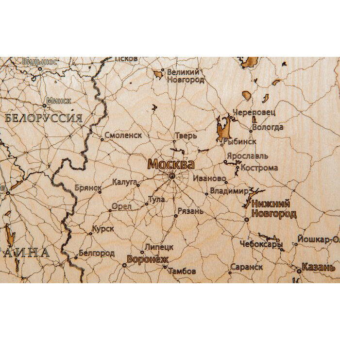
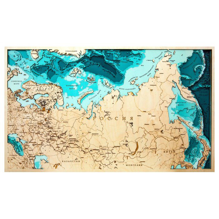
Wooden multilayer map "Map of Russia No. 1" to order
Wooden multilayer map "Map of Russia No. 1" to order
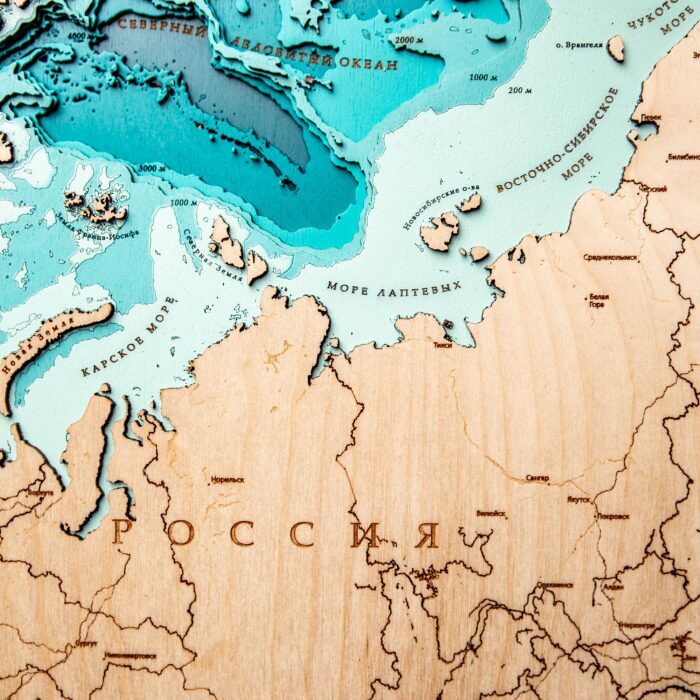
The map of the largest country in the world by area. Vast Russia, which occupied almost a third of the entire vast continent of Eurasia, is located entirely in the Northern Hemisphere, most of Russia's territory is located in the Eastern Hemisphere. It is washed by the waters of the Pacific and Arctic Oceans, as well as the Baltic, Black, and Azov Seas of the Atlantic Ocean, having the longest coastline in the world (37,653 km). Russia is located in the north of the Eurasian continent, occupying most of Eastern Europe and the entire north of Asia.
Impeccable quality and exclusive design of three-dimensional paintings will not leave indifferent a true connoisseur of high-quality, environmentally friendly expensive things!
The painting is made entirely of birch bark, and each layer is painted in its own color, characterizing the depth. Minor deviations from the sample shown in the image are allowed, since the texture of the tree is unique: it is impossible to make two completely identical paintings.
This is an original and very unusual souvenir, there are no analogues of three-dimensional maps both in Russia and in most countries of the world.
You can display all aspects of your company's activities on the map, starting from the location of branches, ending with, but not limited to, the location of oil rigs, gas pipelines, telecommunications lines, ship tracks, fishing zones, mining sites, geological exploration sites and much more!
75 000 ₽
Clarify availablility
For corporate
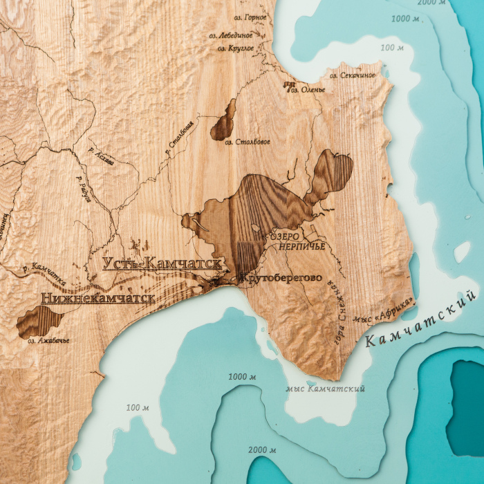
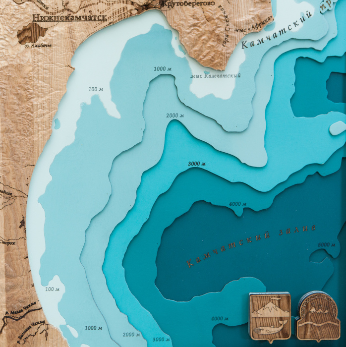
Wooden multi-layered map "Map of Ust-Kamchatsky district, relief" to order
Wooden multi-layered map "Map of Ust-Kamchatsky district, relief" to order
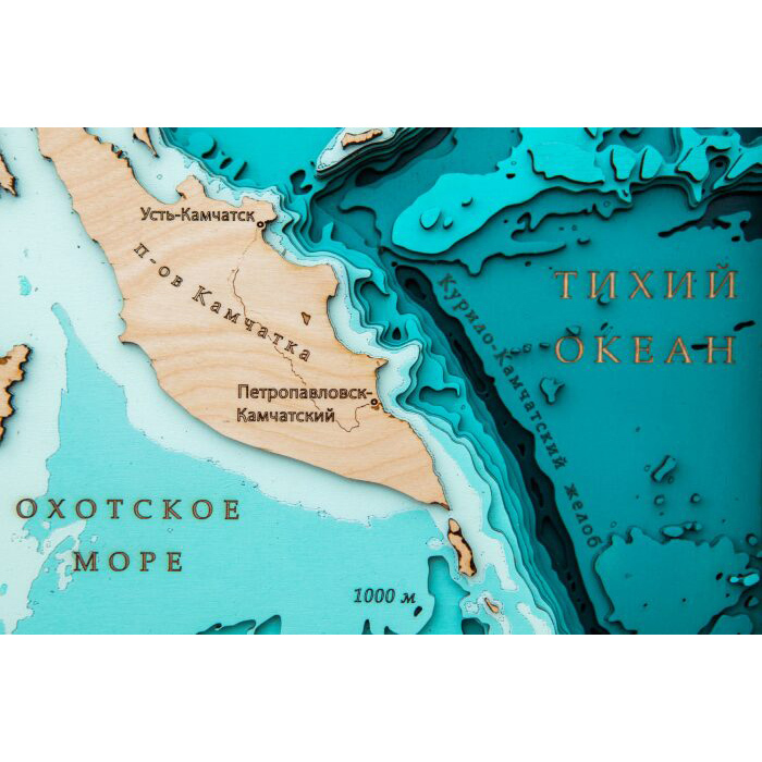
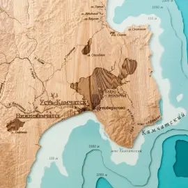
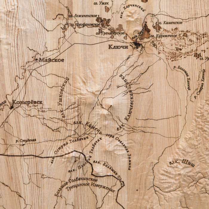
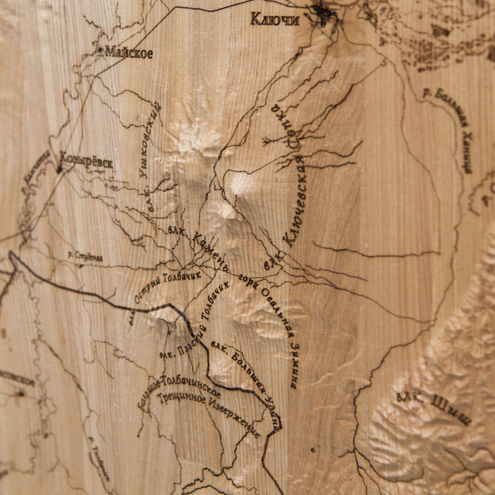
The map shows the Ust-Kamchatsky district of the Kamchatka Territory, on the territory of which the highest active volcano on the Eurasian continent, Klyuchevskaya Sopka, is located. Due to the fact that on the map, in addition to the underwater relief, the earth is also made, you can not only see the location of the volcano, but also literally feel its slopes, as well as see the entire unusual terrestrial relief of the Ust-Kamchatsky district.
Impeccable quality and exclusive design of three-dimensional paintings will not leave indifferent a true connoisseur of high-quality, environmentally friendly expensive things!
The painting is made entirely of birch bark, and each layer is painted in its own color, characterizing the depth. Minor deviations from the sample shown in the image are allowed, since the texture of the tree is unique: it is impossible to make two completely identical paintings.
This is an original and very unusual souvenir, there are no analogues of three-dimensional maps both in Russia and in most countries of the world.
You can display all aspects of your company's activities on the map, starting from the location of branches, ending with, but not limited to, the location of oil rigs, gas pipelines, telecommunications lines, ship tracks, fishing zones, mining sites, geological exploration sites and much more!
90 000 ₽
Clarify availablility
For corporate
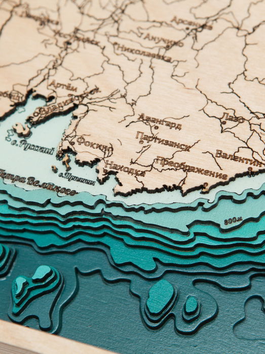
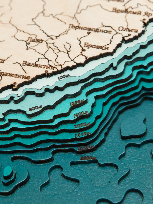
Wooden multi-layered map "Map of Primorsky Krai No. 1, land relief" to order
Wooden multi-layered map "Map of Primorsky Krai No. 1, land relief" to order
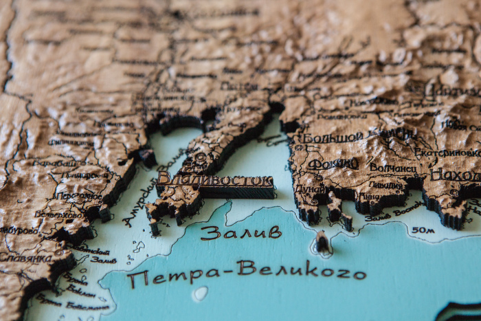
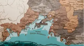
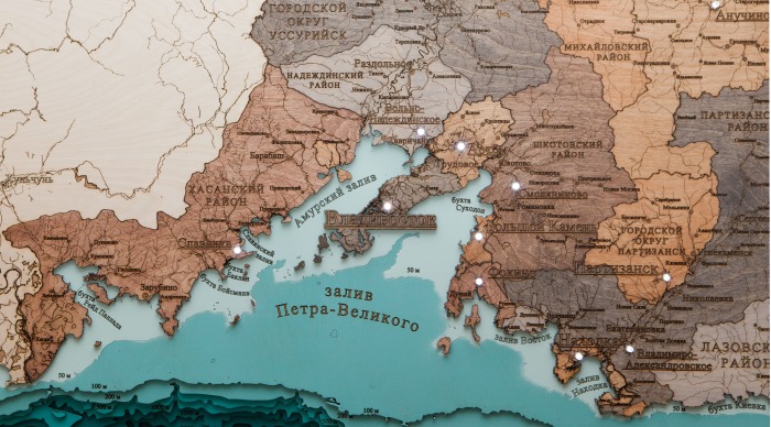
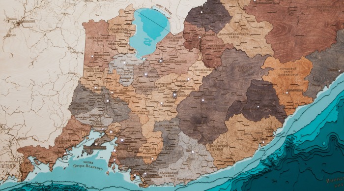
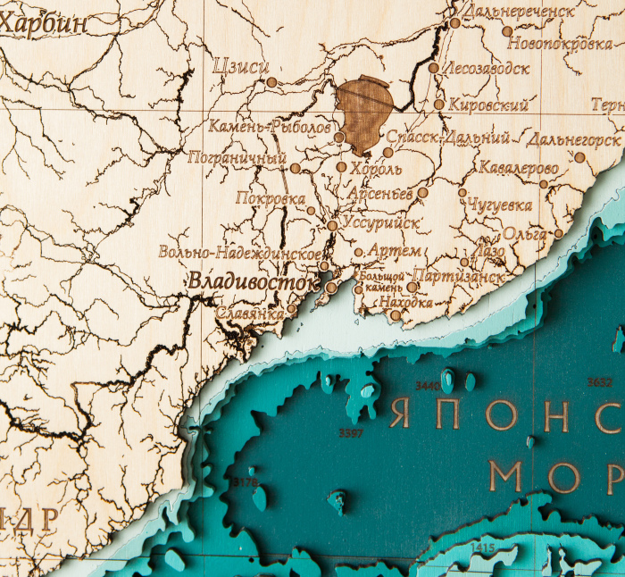
The map shows the water area of the Primorsky Territory with an indication of the large islands and the most important settlements of the region. The map has a vertical structure, which is due to the shape of the edge, which stretches along the coast of the Sea of Japan. The map shows a significant part of the settlements of the region, from larger to small villages and towns, the main rivers and lakes are also marked along with the islands of Peter the Great Bay. On the water part of the map, in addition to the signed depths, bays and bays are also marked. The peculiarity of the map is that in addition to the underwater relief on the map, the ash tree massif is also made of the terrestrial relief, which very well emphasizes the mountainous terrain of the Primorsky Territory, which is becoming more and more relief going north.
Impeccable quality and exclusive design of three-dimensional paintings will not leave indifferent a true connoisseur of high-quality, environmentally friendly expensive things!
The painting is made entirely of birch bark, and each layer is painted in its own color, characterizing the depth. Minor deviations from the sample shown in the image are allowed, since the texture of the tree is unique: it is impossible to make two completely identical paintings.
This is an original and very unusual souvenir, there are no analogues of three-dimensional maps both in Russia and in most countries of the world.
You can display all aspects of your company's activities on the map, starting from the location of branches, ending with, but not limited to, the location of oil rigs, gas pipelines, telecommunications lines, ship tracks, fishing zones, mining sites, geological exploration sites and much more!
105 000 ₽
Clarify availablility
For corporate
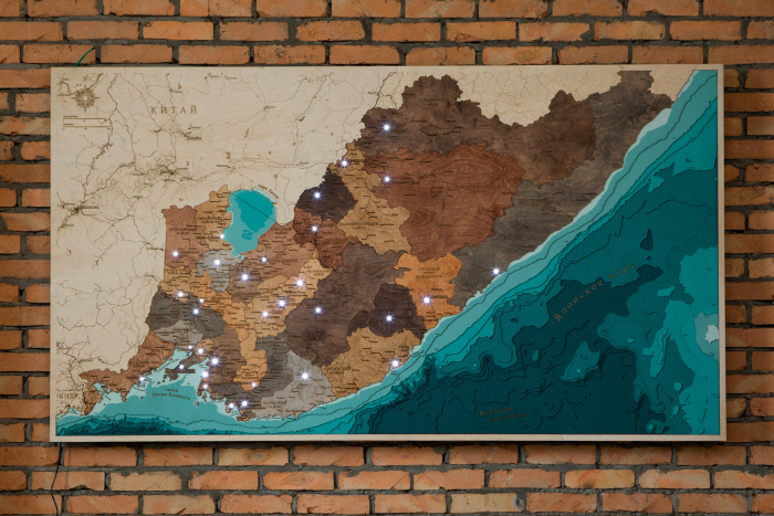
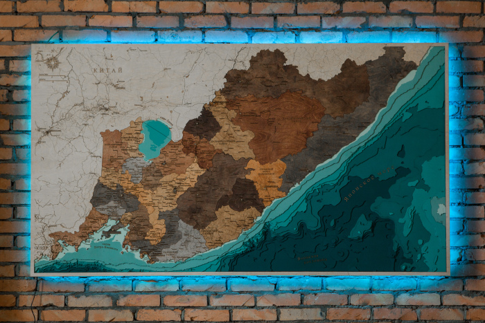
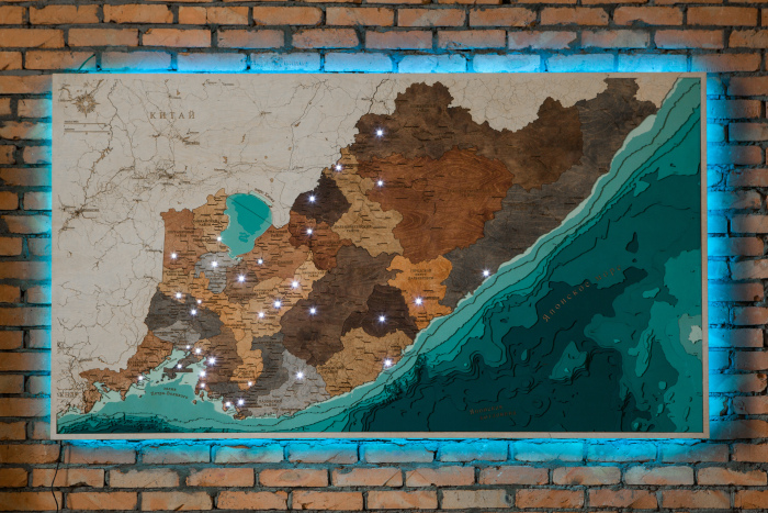
Multi-layered wooden map "Map of Primorsky Krai No. 2, with backlight" to order
Multi-layered wooden map "Map of Primorsky Krai No. 2, with backlight" to order
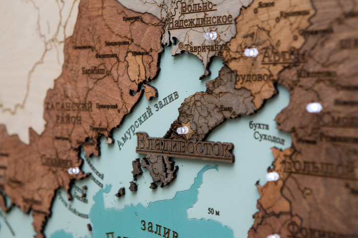
The map shows the water area of the Primorsky Territory with an indication of the large islands and the most important settlements of the region. The map shows a significant part of the settlements of the region, from larger to small villages and towns, the main rivers and lakes are also marked along with the islands of Peter the Great Bay. On the water part of the map, in addition to the signed depths, bays and bays are also marked. A feature of the map is also that all municipal districts of the region are highlighted in different colors along their borders.
Impeccable quality and exclusive design of three-dimensional paintings will not leave indifferent a true connoisseur of high-quality, environmentally friendly expensive things!
The painting is made entirely of birch bark, and each layer is painted in its own color, characterizing the depth. Minor deviations from the sample shown in the image are allowed, since the texture of the tree is unique: it is impossible to make two completely identical paintings.
This is an original and very unusual souvenir, there are no analogues of three-dimensional maps both in Russia and in most countries of the world.
You can display all aspects of your company's activities on the map, starting from the location of branches, ending with, but not limited to, the location of oil rigs, gas pipelines, telecommunications lines, ship tracks, fishing zones, mining sites, geological exploration sites and much more!
225 000 ₽
Clarify availablility
For corporate
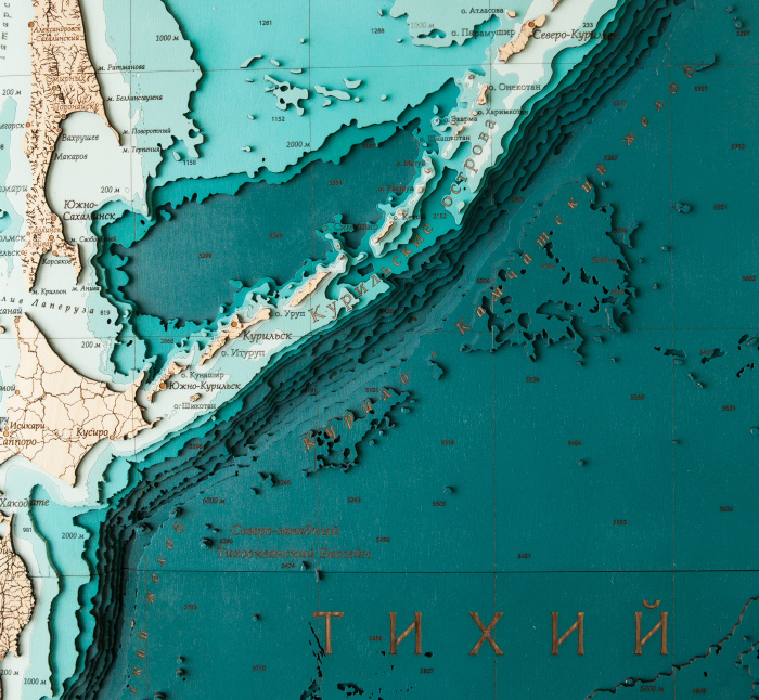
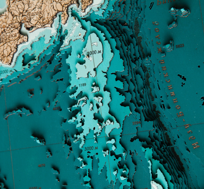
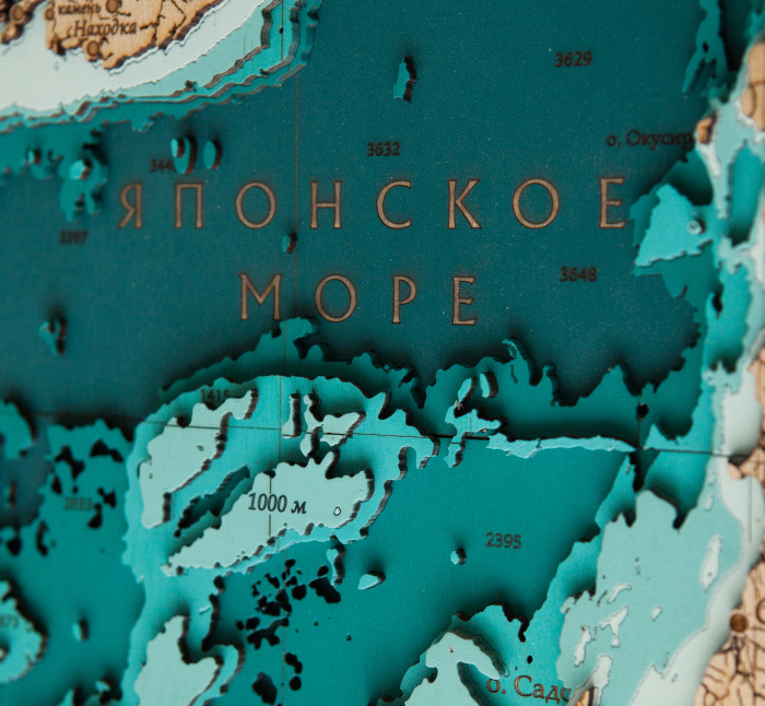
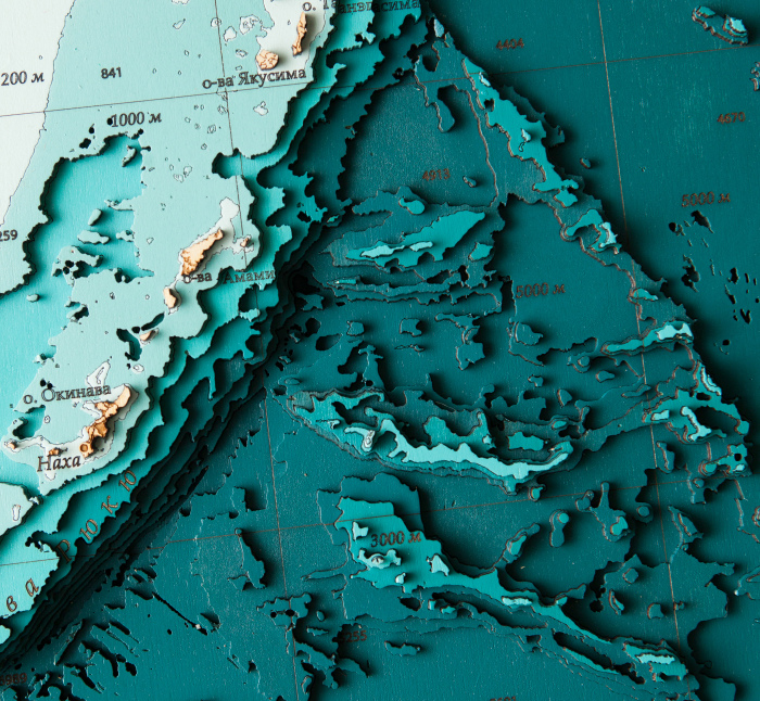
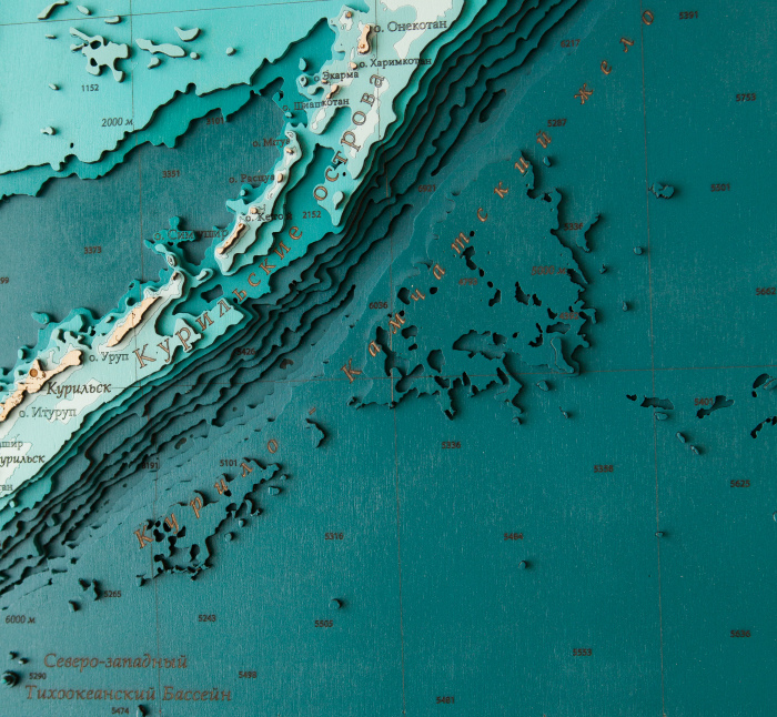
Wooden multi-layered "Map of the Northwestern Pacific Ocean" to order
Wooden multi-layered "Map of the Northwestern Pacific Ocean" to order
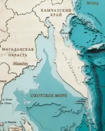
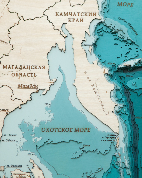
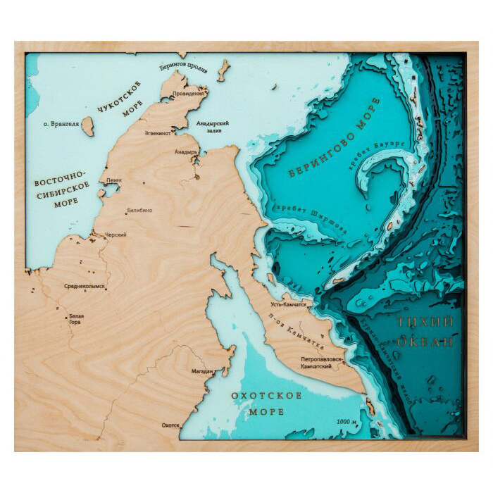
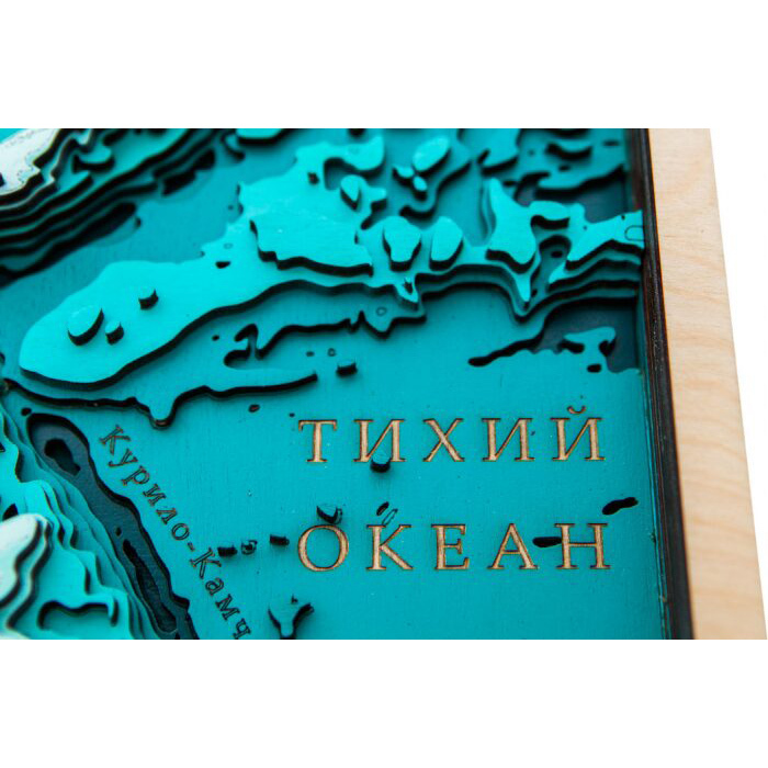
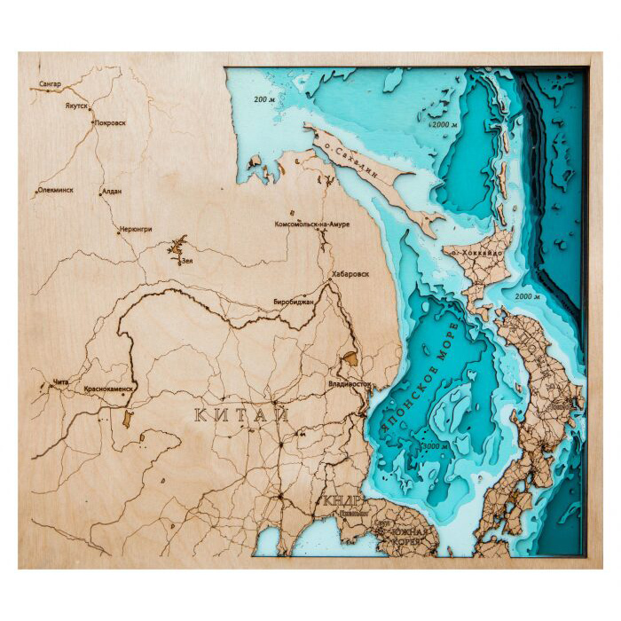
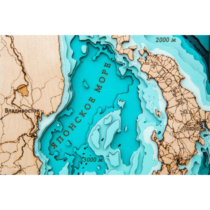
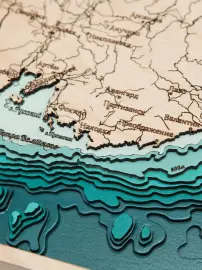
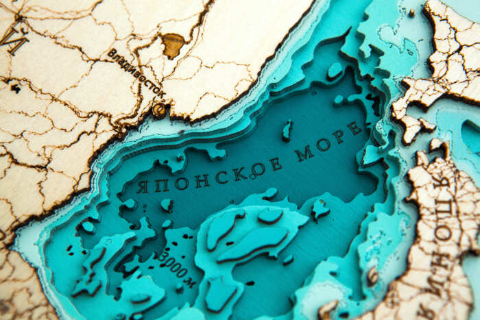
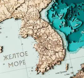
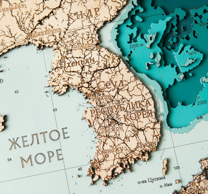
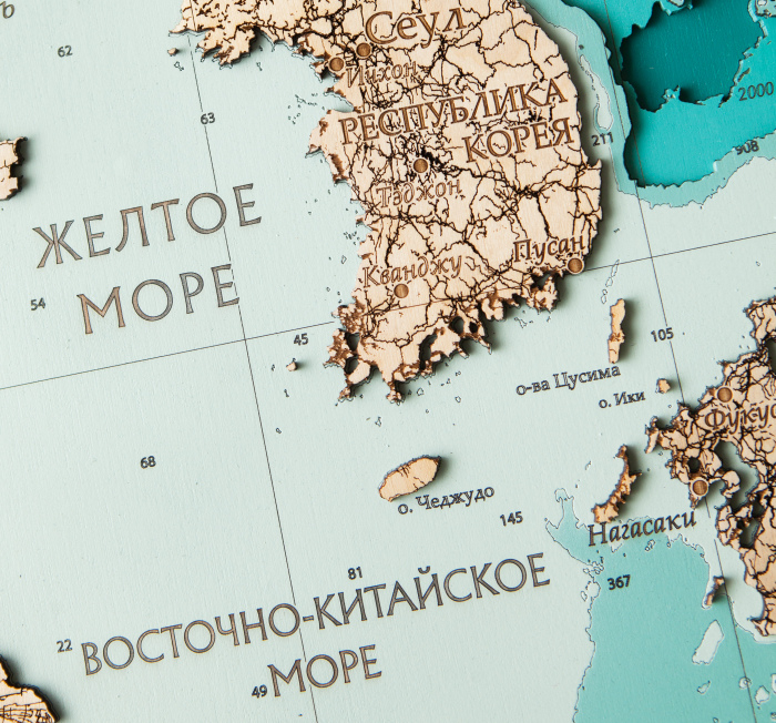
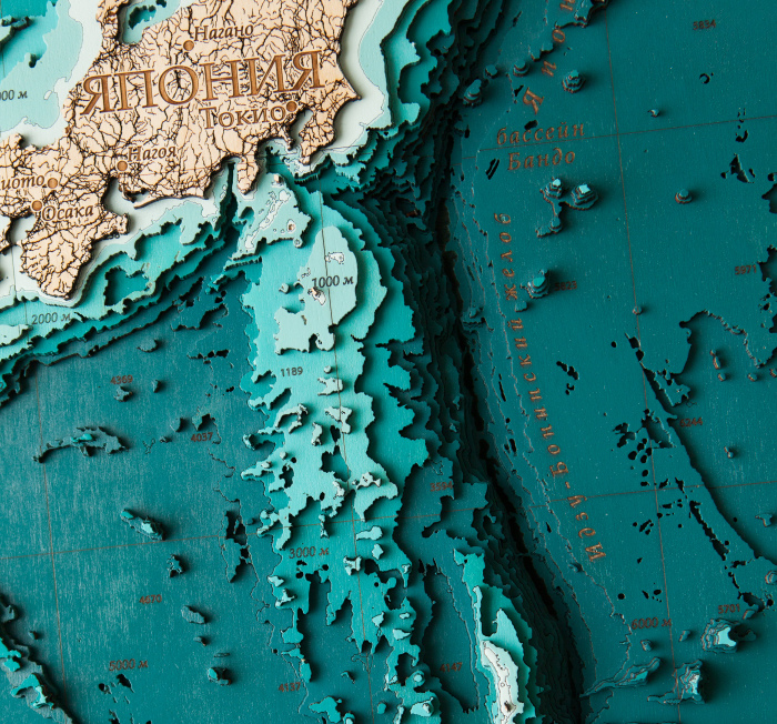
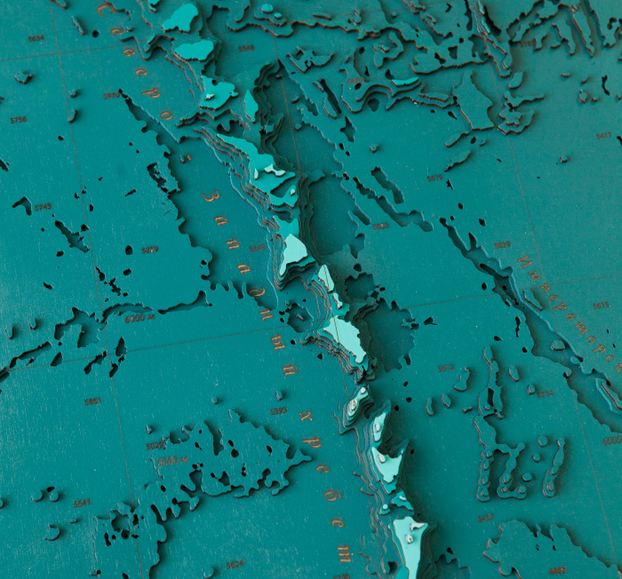
The map shows the northwestern part of the Pacific Ocean, which includes the Bering, Okhotsk, Japanese, Inland Japanese, Yellow and East China Seas. In addition to the detailed underwater part of the relief with a huge number of hand-made details, the map also shows the terrestrial part in great detail, with an abundance of islands (Commander, Kuril, Japanese, Shantar, Sakhalin), as well as countries such as Russia, China, Japan, South Korea and the DPRK.
Impeccable quality and exclusive design of three-dimensional paintings will not leave indifferent a true connoisseur of high-quality, environmentally friendly expensive things!
The painting is made entirely of birch bark, and each layer is painted in its own color, characterizing the depth. Minor deviations from the sample shown in the image are allowed, since the texture of the tree is unique: it is impossible to make two completely identical paintings.
This is an original and very unusual souvenir, there are no analogues of three-dimensional maps both in Russia and in most countries of the world.
You can display all aspects of your company's activities on the map, starting from the location of branches, ending with, but not limited to, the location of oil rigs, gas pipelines, telecommunications lines, ship tracks, fishing zones, mining sites, geological exploration sites and much more!
142 500 ₽
Clarify availablility
For corporate
Wooden multi-layered "Map of the Far Eastern Federal District No. 1" to order
Wooden multi-layered "Map of the Far Eastern Federal District No. 1" to order
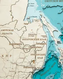
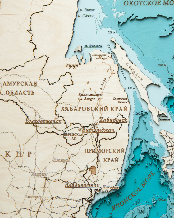
The map shows the Far Eastern Federal District of Russia, while the borders of the regions are clearly divided and regional centers are shown. In addition, the largest rivers and lakes of the Russian Far East are marked on the map, and the deepest lake in the world, Lake Baikal, is also depicted on the map. All the seas washing the territory of the Far East are signed along with the largest islands.
Impeccable quality and exclusive design of three-dimensional paintings will not leave indifferent a true connoisseur of high-quality, environmentally friendly expensive things!
The painting is made entirely of birch bark, and each layer is painted in its own color, characterizing the depth. Minor deviations from the sample shown in the image are allowed, since the texture of the tree is unique: it is impossible to make two completely identical paintings.
This is an original and very unusual souvenir, there are no analogues of three-dimensional maps both in Russia and in most countries of the world.
You can display all aspects of your company's activities on the map, starting from the location of branches, ending with, but not limited to, the location of oil rigs, gas pipelines, telecommunications lines, ship tracks, fishing zones, mining sites, geological exploration sites and much more!
135 000 ₽
Clarify availablility

























.webp)
.jpg)





.webp)
.jpg)





.webp)
.jpg)
.webp)
.jpg)


.webp)
.jpg)


.webp)
.jpg)


.webp)
.jpg)




.webp)
.jpg)





.webp)
.jpg)






.webp)
.jpg)





.webp)
.jpg)
